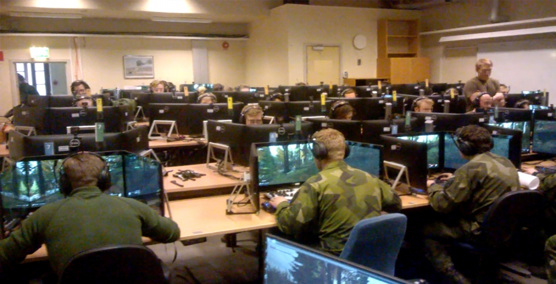
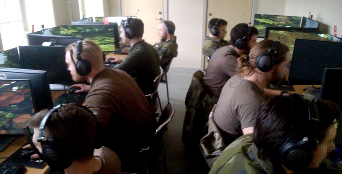
BISim’s Business Development Director Craig Turner recently spoke about the Swedish Armed Forces procurement of the Chernarus terrain for Virtual Battlespace 3 (VBS3) with Cpt. Anders Jakobsson, who is System manager for StrisimPC & VBS & Crew training in the Development Department of the Land Warfare Center in Skövde. In the interview below, Jakobsson discusses why the Swedish Armed Forces decided to procure the terrain for training and what it provides trainees.
Craig Turner: Why did you select Chernarus for VBS-based training?
Anders Jakobsson: Since we are making terrains ourselves, and have experience from other simulator projects from buying terrains, we do know how much time it takes and, therefore, how much it costs to make a good terrain.
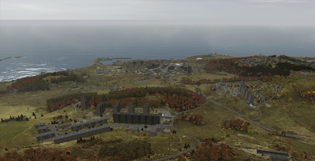
So when we asked BISim for the price, we found it affordable and a good deal. The reason for choosing Chernarus is that we had a lot of experience from playing it in Arma2 and that the terrain and geographical look and feel is rather much like any north European or north American landscapes regarding the vegetation or the height map. Of all other terrains we know of for Arma or VBS, Chernarus is by far the most developed one and the most suitable one for training of troops on the ground.
CT: Why do you feel it is a good terrain for SWAF training?
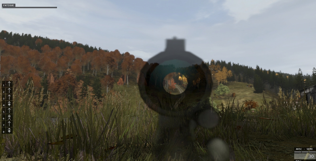
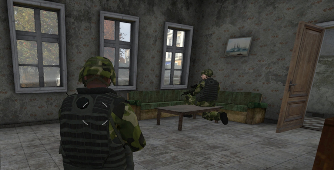
AJ: First of all, it has a lot of look and feel of a Swedish/Nordic/north European terrain (unlike all the desert terrains present in VBS). The vegetation with its autumn colors makes it look like a terrain we are used to. It also make it rather easy to make distance judgements since it differs in color. The terrain has so many details of objects like garden furniture and vegetation, fences, trash cans, backyard stuff, industrial area equipment and such that it makes it very alive-looking and gives the trainee a lot of details. These details make it possible to hide, take cover, address problems of advancing with vehicles, and much more in a very realistic manner.
CT: What are the key points that give training value to this terrain?
AJ: So many terrain details gives the trainees realistic problems; for example, giving references for targeting. It is not easy to find an enemy, since there are so many details to observe. The urban stuff like houses, tenement buildings, factory buildings are so nice with all the possibilities to enter buildings, enter roofs, and perform fighting and searching both outside and inside buildings.The agricultural landscape is perfect for training maneuvers with mechanized units, since it has so many details of vegetation lines, bushes, farms and roads that are very well worked over. The only thing missing is larger waters to force bridge laying, but the original terrain data actually doesn’t have any big creeks or rivers.
CT: How have you ‘tweaked’ the terrain for your use?
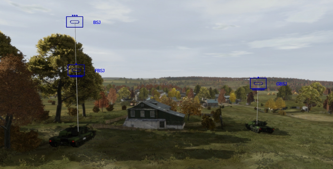
AJ: Well, we did order a new archipelago in the sea south of Chernarus to create a training possibility for our shore defense system with Hellfire that we recently bought in VBS.
We have not made any changes ourselves. My view is that it would be more useful for everyone if all users share a common baseline terrain, to maximise financial synergies and interoperability.
CT: What would you like to see in the future?
AJ: It would be great if every room was enterable and every building had a half-ruin and total-ruin models. This might be something for future phases that could be of interest for the user community. We are in the investigating FIBUA improvements to parts of Chernarus with BISim. We would love to take one more village and change a few of the house models. We would like to have some basements and more spaces to hide. On the highest tenements houses you can’t go onto all the floors, which we would like to change.
Photos and images courtesy of Anders Jakobsson

