
By Rahul Thakkar, President of Bohemia Interactive Simulations (BISim™),
Today, I would like to share a short story about a fun “map-a-thon” exercise that a few of our team members recently undertook.
In early June 2024, Pat Stephens, one of the lead solutions engineers at BISim, based in our Prague offices in the Czech Republic, reached out about our new product, Mantle.
Mantle is a standards-based adaptive enterprise terrain management platform. Geospatial customers can take map data like the base map of any region on Earth, high resolution satellite or aerial imagery, elevation, regional vegetation, 3D geo-specific building information, custom 3D geo-typical building models, and 3D vector data like roads, points of interest, traffic lights, and signs, (to name a few), and create a comprehensive pipeline to generate agame or simulation-ready 3D terrain in a very short time. This terrain can be streamed by Mantle’s streaming service to industry-leading simulation and synthetic training platforms like VBS, game engines like Unity or Unreal, standards-compliant geospatial software like Cesium or ESRI. The terrain can also be exported to standard terrain formats for disconnected GIS apps.
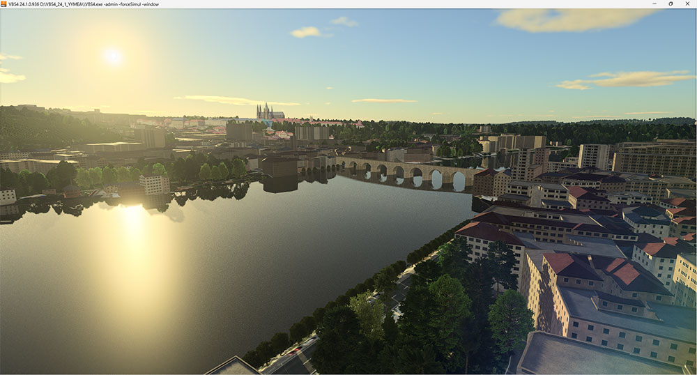
VBS Geo permits users to hand-place geo-specific models like the Charles Bridge and Prague Castle
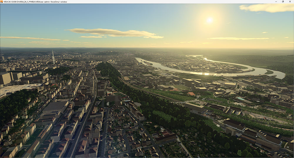
Mantle creates a simulation-ready terrain in a very short time
Pat schemed a little plan with our CTO, VP of Eng., and the Mantle tech lead. While Pat loved Mantle’s ability to create terrain quickly, he did not have the terrain of his adopted hometown, Prague (He’s from Philly). He wanted to have some fun but did not know how long it would take to create the terrain. So Pat pinged me and asked to lead a map-a-thon. He wanted to use Mantle and prove that those not skilled in GIS could create a high-fidelity, simulation-ready terrain in only a few days. Have fun! Ping me when you’re done, I said.
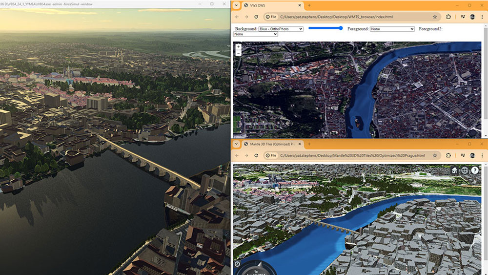
Mantle-hosted terrains are immediately available and correlated to other formats like 3DTiles and WMTS
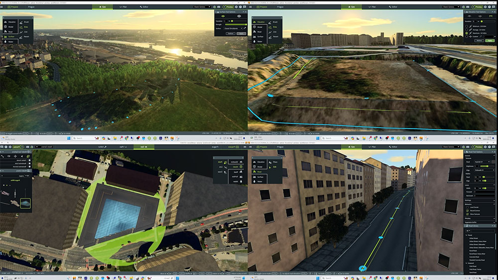
With the terrain inset hosted on Mantle, it permitted more than 8 VBS Geo users to simultaneously hand-edit the terrain
Eight volunteers signed up. They’d hangout from time to time, gathering whatever data they could scrounge from the public domain and use Mantle to create the terrain. It was a labor of love. A few days later, Pat shared this video of over 100 sq km of Prague. I said, Whoa!
Check this video out. It is less than 3 minutes long. From what I gather, without Mantle, such a task would have taken months and a lot of specialist knowledge. They spent under 45 hours developing the terrain (an average of no more than 5 hours per person!). Thank you to Pat and the 8 for the Prague map-a-thon.